

|
Published: 24 September 2012
Could smart phone use improve climate models?
Australian researchers will investigate using the GPS signals that navigators and smart phones receive to determine how much water is in the atmosphere, leading to more accurate climate models and predictions.
|
|
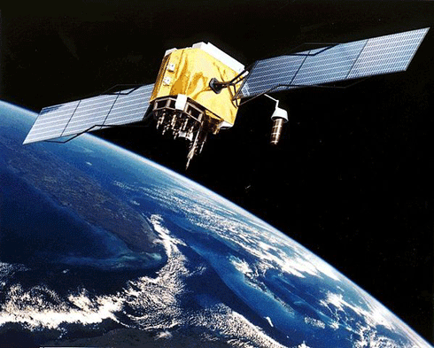
By knowing the surface temperature and air pressure at the site of the receiver of a GPS signal, scientists can work out the amount of water vapour in the atmosphere. Credit: NASA
|
Dr Suelynn Choy from RMIT University will investigate whether data from Geoscience Australia (GA) and the Bureau of Meteorology (BoM) can be combined to provide a record of atmospheric water content.
If successful, Australian scientists will have access to more than 10 years of GPS-derived water vapour data and current observations from across Australia and Antarctica, filling a void in data used to produce climate models.
Water vapour is the most abundant greenhouse gas in the Earth’s atmosphere and is responsible for more warming than any other gas, such as carbon dioxide.
The concentration of water vapour is constantly changing, making it difficult to observe and measure.
By including water vapour in climate models, scientists will be able to better predict the impacts of future warming on Australia.
To determine how much water vapour is in the atmosphere, Dr Choy will tap in to an unused part of the GPS signal that is often discarded as ‘noise’.
‘When the GPS satellite sends out its signal, the time it takes to travel to a receiver on Earth depends on the conditions of the atmosphere,’ Dr Choy said.
‘This interference creates ‘noise’ in the signal which needs to be removed to give an accurate position.
‘However, this “noise” tells us a lot about the atmosphere. By knowing the surface temperature and air pressure at the site of the receiver, we can work out how much water vapour there is around us.’
Geoscience Australia maintains a network of GPS receivers across the region, providing data extending back to 1998.
Source: RMIT

